Find by land or sea in beautiful and historic Newburyport
Directions by water:
To help you find the American Yacht Club by water, we highly recommend you have and use a navigational chart of the Merrimack River.
As a general aid, here is a map to guide you..
IMPORTANT NOTICE: A dangerous rock outcropping known as Halftide Rocks lies on the outer edge of the mooring field, so please navigate with caution. There is also a great deal of shallow water.
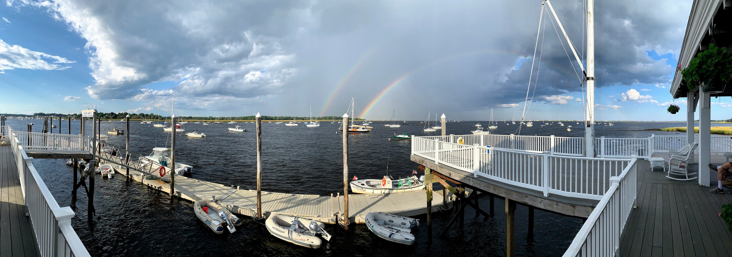
The best way is to enter the Merrimac River, follow the RRR rule (Red Right Return) and look for the “AYC” painted on the roof of our clubhouse on the port side about a mile from the entrance as you are sailing upriver. There is a mooring area of about 150 boats in front of the club.
When you are heading upriver, be aware that the river’s current on an ebb tide (current downstream against you) can run very fast, so it is advisable to run past green can C-17 for some distance before attempting the port turn toward the clubhouse. Even then, you should crab against the current by keeping your bow pointed to the right of the club. With a flood tide (current upstream with you), it is safe to turn soon after passing C-17. Unless you know the area, it is also not advisable to cross behind the rocks into the eastern end of the mooring area; it does shoal in places.
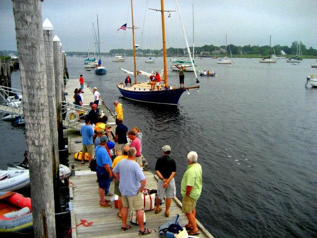
When you are headed downriver (from the direction of Newburyport downtown), the approach to the AYC clubhouse is unobstructed as long as you turn to starboard toward the club well before reaching green can C-17. Once approaching the mooring area, either pull up to the AYC floats or hail the AYC Launch on channel 72 for assistance in finding a guest mooring.
Directions by land:
For your ground support team with supplies, the map above should provide a general idea of where downtown Newburyport is in relation to our club.
The club is located at 115R Water Street, Newburyport, MA.
By Car
From Route 95 follow 113 into Newburyport.
After the initial lights around the shopping plazas near the highway, you will travel about 4 miles until you encounter one set of yellow flashing lights at the top of Green St. and shortly thereafter a set of working lights at the top of State St with a Mobile Gas station on the right.
Proceed straight thru the lights at State St.
Then take your third left onto Federal St. Follow that all the way to the bottom where it intersects with Water St.
Take a right and travel one block where you will see a sign on the left for the Water Treatment Plant and The American Yacht Club.
Take a left at the sign onto the paved driveway and follow it to the American Yacht Club. The gate is coded, so if you don’t have the combination code, phone the club steward and ask to be let in. There is usually ample parking, but please do not park in a way that might block in a trailered boat or obstruct the boat ramp.
There is also further weekend parking outside the gate across from the Water treatment office.


